What we have done.........

Cadastral survey services and consultancy for integrated real estate development with residential, commercial and office components including shared facilities and recreational parks. Services included topographic and planimetirc site surveys, surveys for the issuance of final land titles, strata titles for subdivided buildings and stratum titles for below ground facilities. Development areas ranges from thousands of square metres to hundreds of hectares in size.
Survey for the issuance of strata titles for the subdivision of buildings for residential real estate development including initial engineering, topographic and utilities detection surveys and mapping for the development site.
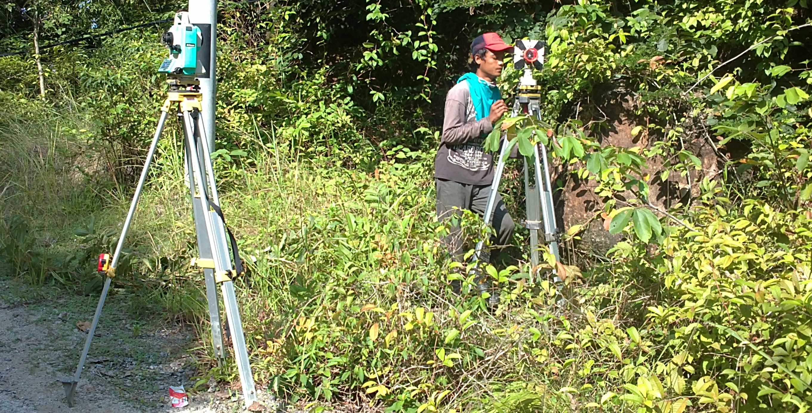
Topographic and planimetric mapping for the design and construction of proposed roads and highways including computation of right-of-way and preparation of land acquisition drawings.
Topographic and planimetric mapping for the upgrading of existing roads and highways including surveys of pavements, slopes and cutting, road furniture using terrestrial and airborne (including unmanned aerial systems) sensors.
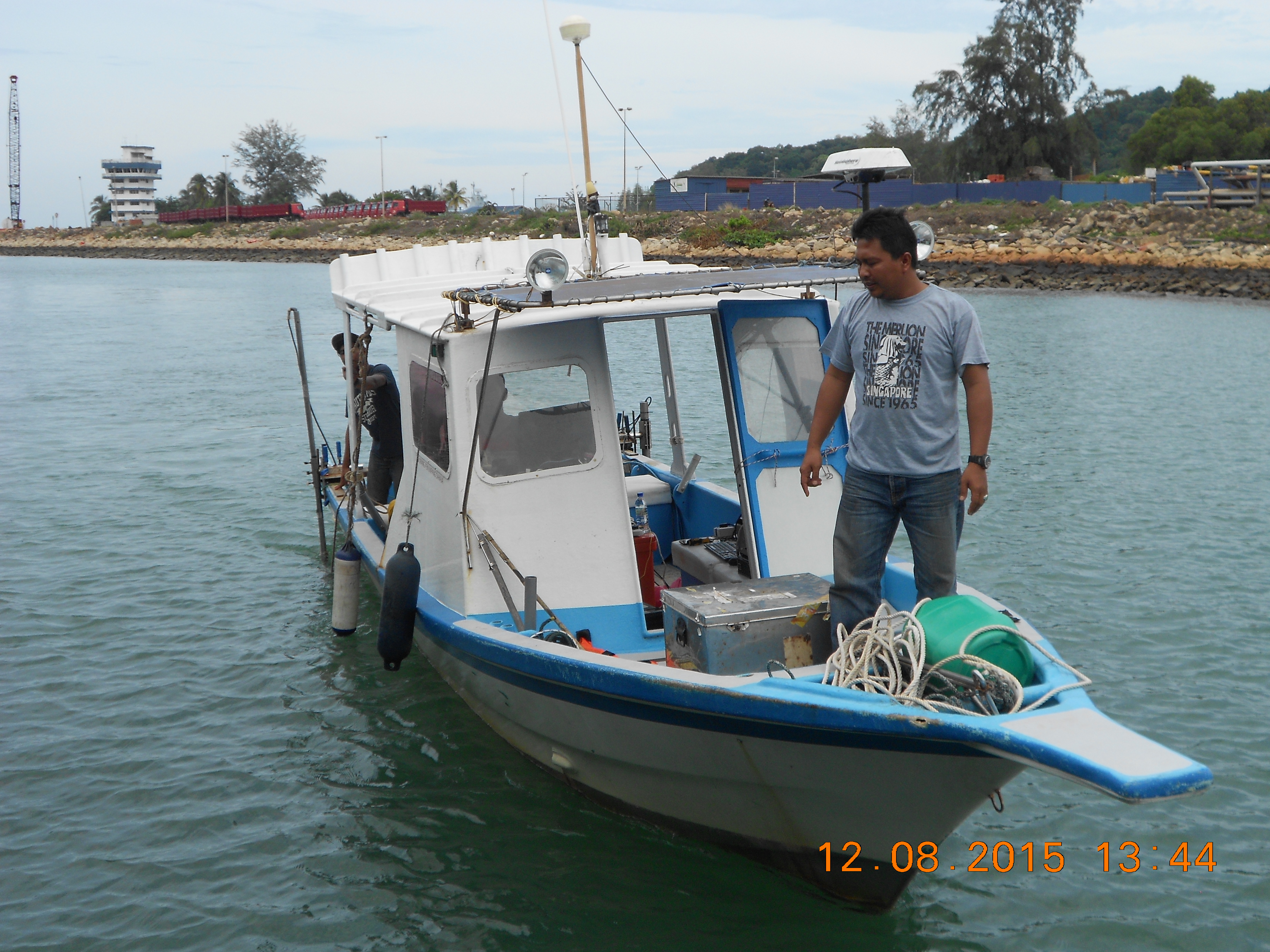
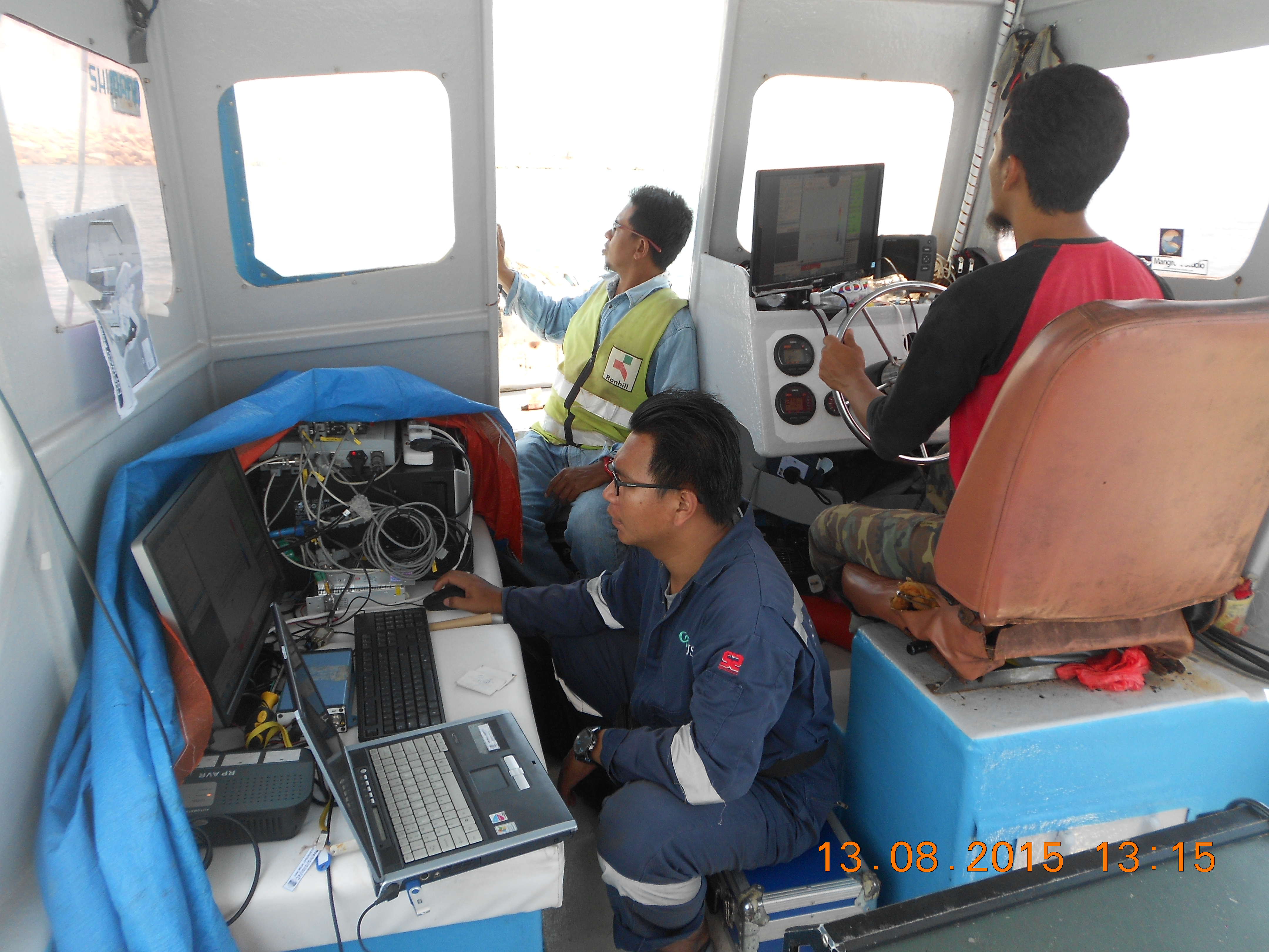
Term (multi-year) contract for the provision of hydrographic and coastal profiling survey for a maritime facility and port involving multi-beam soundings, topographic and bathymetric profiling of the foreshore areas at half-yearly intervals.
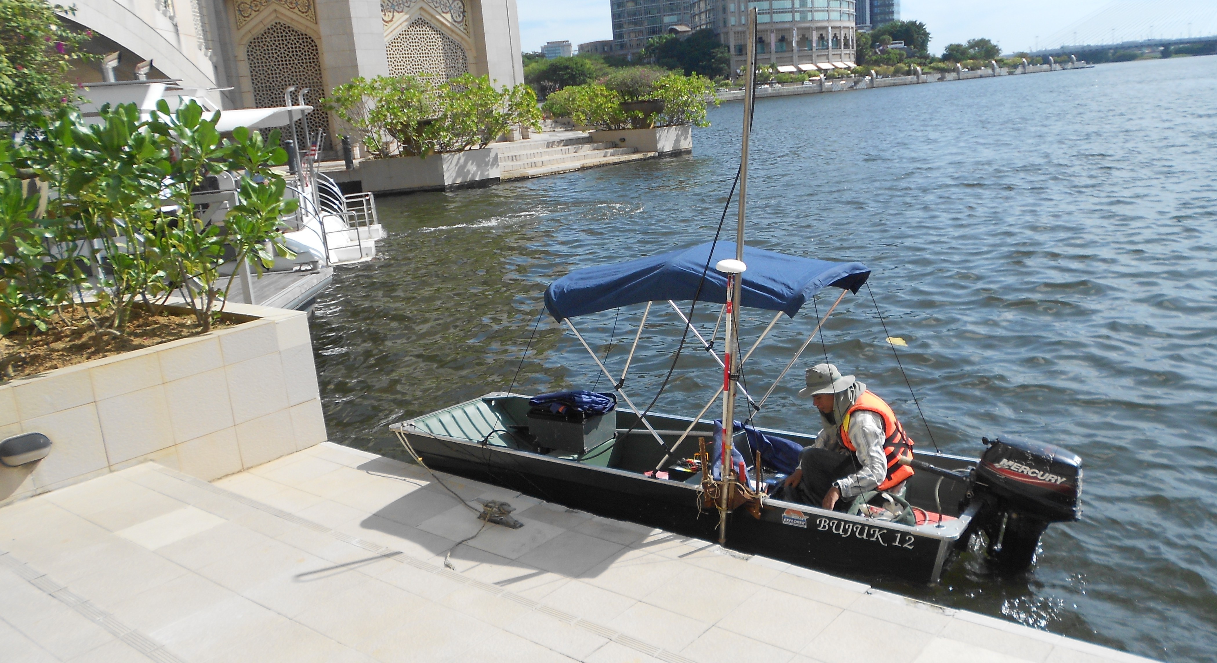
Hydrographic survey services for ongoing development and expansion of maritime and port facilities including breakwaters, reclamation and navigation channels involving bathymetric (single and multi-beam) surveys, seabed investigation and tidal and current data collection program.
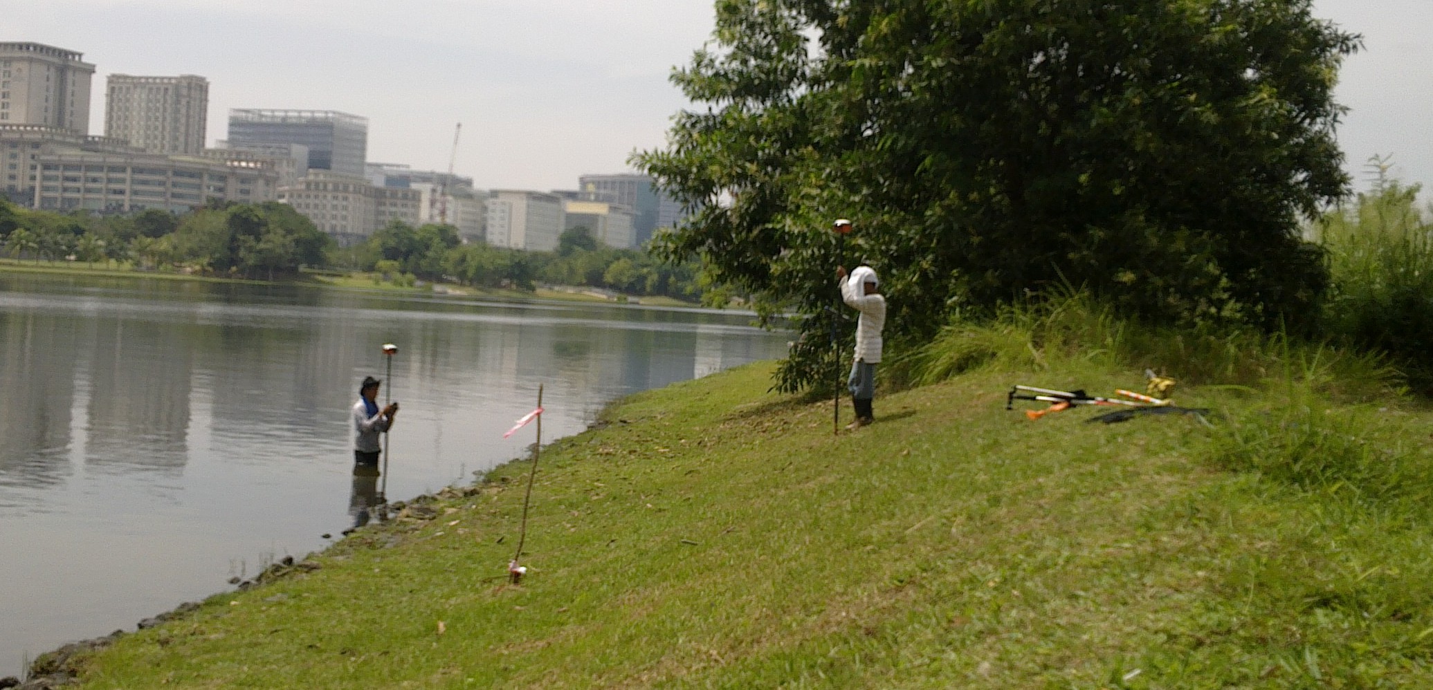
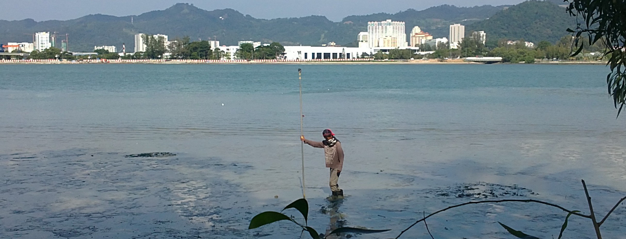
Surveys for coastal environmental monitoring related to coastal engineering, development and land reclamation works that have both baseline and monitoring surveys at regular intervals (two to four times in a calendar year) that included topographic and bathymetric mapping and profiling of the foreshore.
Procurement and provision of high-resolution satellite imageries