What we do.........
Geometra Surveys currently employs a team of qualified and competent personnel, deploys a suite of appropriate and up-to-date surveying systems and sensors to proficiently deliver its services and solutions effectively. This allowed the firm to remain active since it’s incorporation in the provision of surveying and mapping services and solutions to this day. In recent times, the firm has concentrated on surveying and mapping services and solutions for infrastructural and property development, both along the coast and inland, in urban, peri-urban and rural settings.
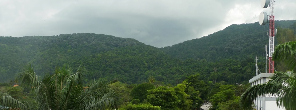
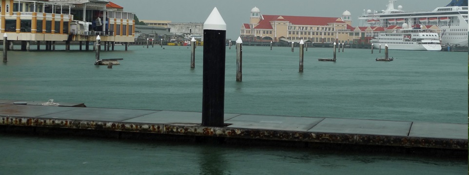
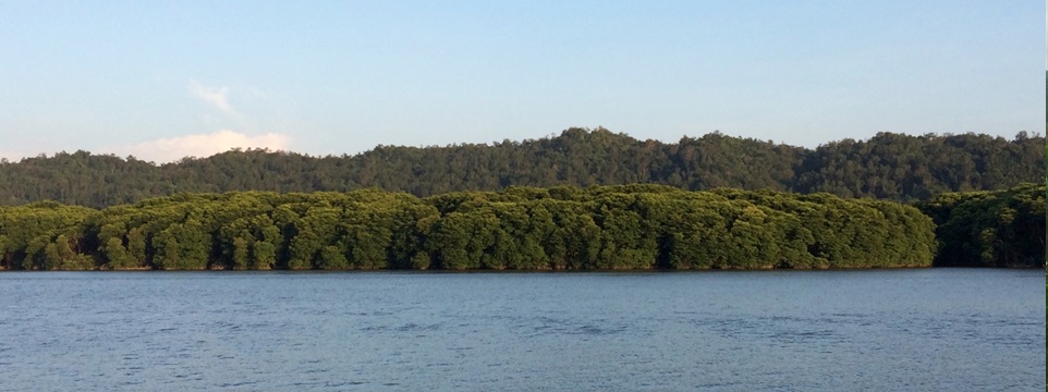
Typical projects executed are located inland, the foreshore, nearshore, inshore and offshore, are carried out for feasibility studies, planning and design, civil and marine engineering, landed and high-rise property development and projects involving -
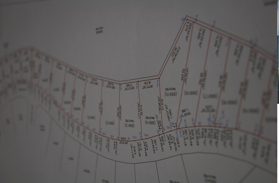
Cadastral Surveys
Surveys for the issuance of final titles and land, strata titles for land parcels for subdivided buildings and stratum titles for parcels below ground.
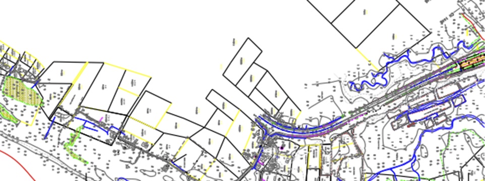
Engineering Surveys and Topographic Mapping
Large-scale surveys and mapping, either terrestrial or airborne including using unmanned aerial systems, for development sites, roads and highways, railways and tracks, pipelines and transmission lines. Also includes LiDAR mapping, low-altitude photogrammetric mapping, terrestrial laser scanning and GNSS controls and positioning.
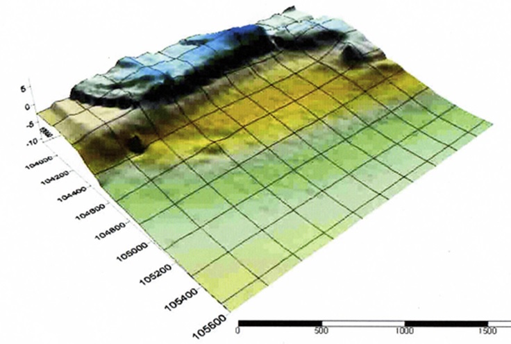
Hydrographic Surveys
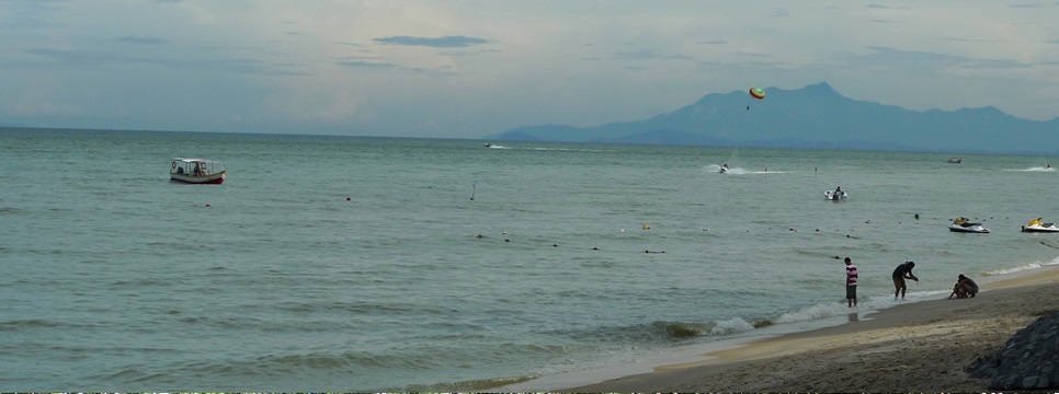
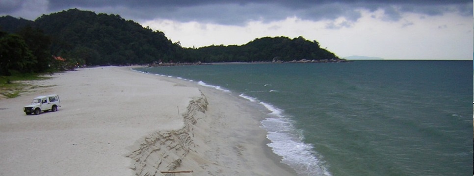
Surveys for riverine, inland waters, coastal and marine engineering developments, environmental studies and monitoring, marine reclamation and dredging works including bathymetric (single and multi-beam) surveys, shoreline and foreshore profiling and monitoring, seabed mapping and investigation, tidal, current and flow observations and measurements.
Surveys for asset, property and facilities management
Surveys for due diligence and real estate transactions, underground utilities detection and mapping utilizing both electromagnetic detection and ground penetrating radar systems, precise three-dimensional rail-track monitoring and measurement utilizing integrated high precision sensors for the measurement of gauge, superelevation and chainage, building, facilities and dimension surveys utilizing terrestrial laser scanning.
Geometra Surveys adheres to locally and internationally accepted professional and industry standards for its survey activities, onshore and offshore. Additionally, senior operating staff and the directors, in particular, are appropriately qualified academically and professionally and being members of professional institutions, abide by the respective standards and codes of ethics.